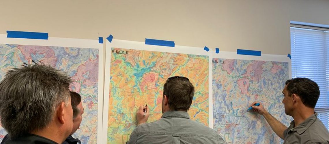
On March 26th & 27th a Potential Operational Delineations (PODS) workshop was held with the San Juan & Rio Grande National Forests, county emergency management, local fire managers and local non-profits.
PODs are useful for planning strategic response and summarizing wildfire risk within predefined polygons throughout a landscape. Local fire experts identified control locations in the region that will eventually be digitized in a GIS platform. The PODs will be evaluated for landscape conditions and used to determine areas of high fire suppression difficulty.
Aaron Kimple, coordinator of the 2-3-2 Cohesive Strategy Partnership, is excited for the opportunity to use this process to help inform local community wildfire protection plans (CWPPs) and to engage with the community on local wildfire risks. These efforts will assist in pre-fire planning, risk assessment, and potential areas for pro-active management across different land ownership boundaries in both collaborative groups.

